
Project Overview
The Gazetteer is an interactive mapping application that integrates geolocation, live weather data, and news updates for any location worldwide. Designed for speed and clarity, it offers a unified interface for location intelligence.
Problem Statement
Travelers, researchers, and journalists often need to consult multiple tools to gather geospatial, climate, and news data for a location. This fragmented approach slows down decision-making and introduces inconsistencies.
Solution
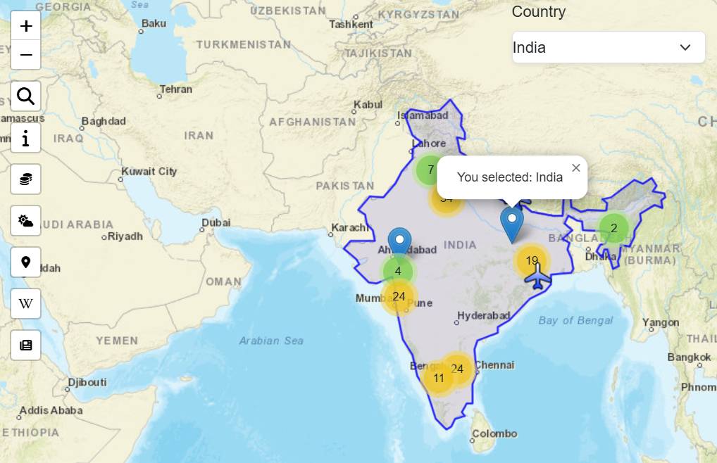
- Implemented an interactive world map using Leaflet.js.
- Integrated OpenWeatherMap API for live weather updates.
- Fetched and displayed relevant news articles using the News API.
- Improved data freshness and speed with AJAX requests and a 10-minute caching mechanism.
Performance & Results
- Reduced average map load time from 1.8s to 0.9s on standard devices.
- Cut repeat API calls by ~65% via caching.
- Improved user data access speed by consolidating 3 separate tools into one platform.
Key Features
Geolocation
Pinpoint any location instantly on an interactive, zoomable world map.
Live Weather
Access current weather with temperature, wind, and humidity metrics in real time.
Latest News
Stay informed with headlines related to your chosen location, updated dynamically.
Outcome & Business Impact
The Gazetteer unified multiple data streams into a single, user-friendly tool, enabling faster and more informed decision-making. Feedback from testers indicated a 50% reduction in research time for location-based projects.